Topographic & Engineering Surveys
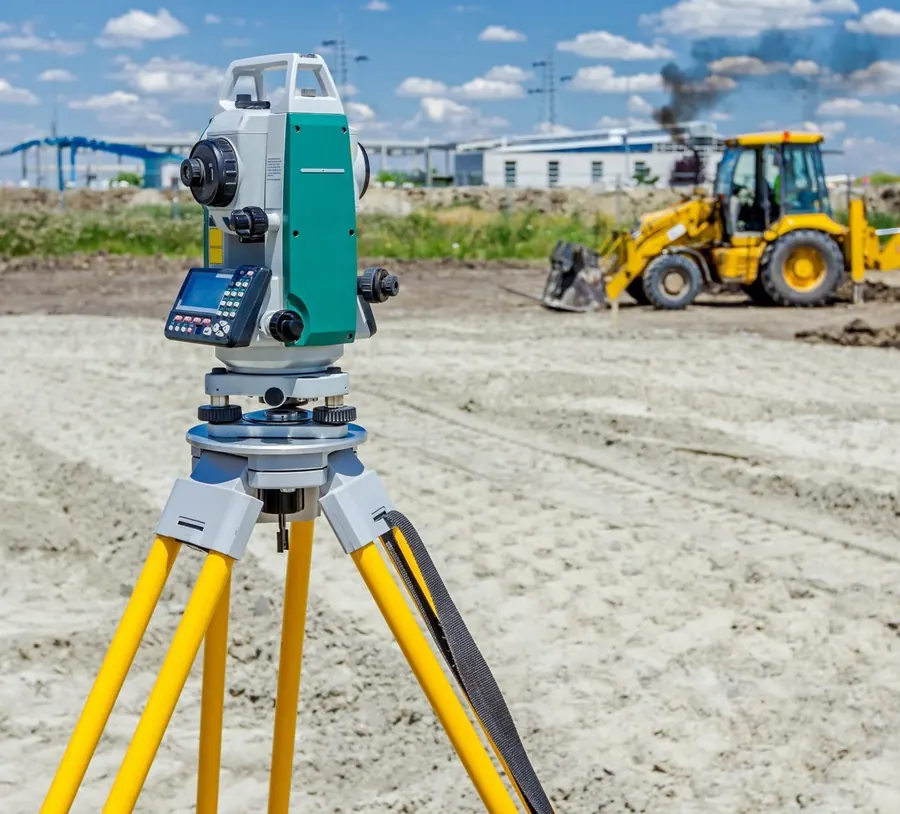
Topographic and as-built surveys, setting out, and scaled CAD drawings for designers and engineers.
Learn more about Topographic & Engineering Surveys
GPR Scanning
GeoSurv now offers ground penetrating radar (GPR) scanning, a non-destructive way to locate buried utilities and investigate the ground.
Overview
Who it is for: Utility owners, contractors, engineers, developers and consultants who need to know what is underground before work starts.
Ground Penetrating Radar sends radar pulses into the ground and records the reflections to build a picture of what lies below, without excavation. It is widely used for locating buried utilities and for archaeological and subsurface investigations.
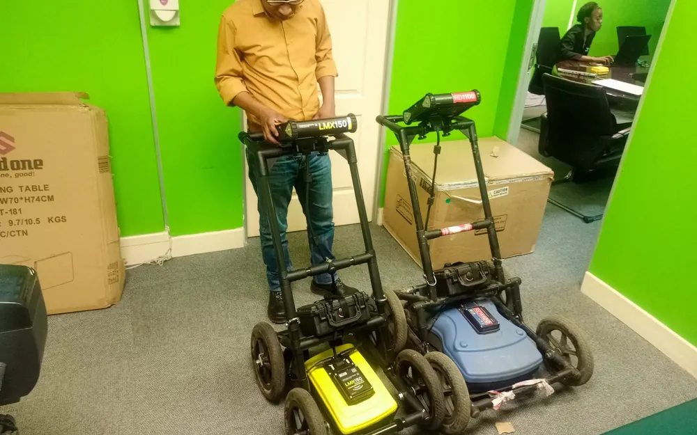
GeoSurv has added GPR scanning to its survey services, using LMX150 and RD1100 units. It complements the topographic and underground-infrastructure survey work GeoSurv already carries out.
Scope of services
Detecting pipes, cables and other buried services before excavation begins.
Scanning the ground to reveal buried objects and changes beneath the surface.
Information gathered without trenching or breaking the ground.
Scan findings can be considered together with topographic and utility survey information.
Applications and benefits
Knowing where utilities run helps reduce the risk of striking them during excavation.
Understanding what lies below helps designers and contractors plan their works.
GPR scanning looks below the surface without disturbing it.
Process
Tell us about the property or project and what you need.
We define the scope and plan the survey.
Survey measurements and data are captured on site.
Data is processed and checked.
The agreed survey outputs are delivered.
Deliverables
Related services
Topographic and as-built surveys, setting out, and scaled CAD drawings for designers and engineers.
Learn more about Topographic & Engineering SurveysPhoto control for photogrammetry, established with sub-centimetre GPS systems.
Learn more about GPS Surveying & Control StationsSurvey and capture of ground features so GIS practitioners can build their databases.
Learn more about GIS Data CaptureTell us about your requirements and we will advise on the right approach.