
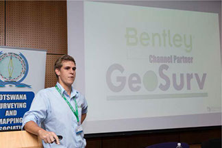
Authorised Distributor
Geosurv is an authorised distributor for Bentley Softwares.
Solutions for Surveying, Reality Modeling, and Mapping
If you are a mapping or surveying professional, new technologies have significantly changed the way that you can conduct your work. Barely in our thinking a few years ago, technologies such as UAVs, drones, 3D surveying, laser scanning, and 3D imaging are now essential to your work. You will benefit from solutions that leverage these capabilities, enabling innovative ways to automate, analyze, and visualize your work and providing exciting new deliverables that you can offer to your clients.
You also face an increasingly competitive market to deliver your services, as these new technologies have attracted new players. They have changed the expectations of your clients, yet opened up new applications and opportunities.
Our reality modeling solution allows you to rapidly build a highly precise 3D geometric model of your existing terrain or infrastructure.
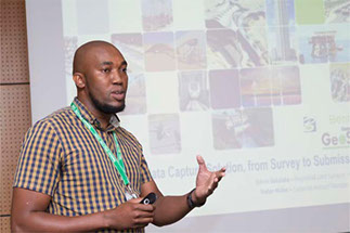
WE DELIVER, IMPLEMENT, TRAIN
AND SUPPORT USERS.
Use digital imagery captured from any source, including UAVs, aircraft, or handheld digital cameras. Or, if it better suits your project, use our point-cloud solution. Our reality modeling capabilities underpin our established offerings for cadastral and base mapping, site planning and design, civil engineering, utility planning and design, and GIS. Manage your work processes and your project deliverables with our spatially enabled information management environment.
No matter your focus, you will benefit from Bentley’s solutions for mapping and surveying, and empower your team to create highly accurate and data-rich deliverables. Geosurv has helped numerous Land Boards across Botswana to access the software in order to improve their work flow efficiency.