
Topographic, Engineering Surveys, CAD Plan & Elevation Drawings
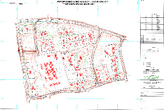
In order to develop any piece of land, be it for a housing development, a new road, a power line or a pipeline, the engineers and architects need to know what is on the existing piece of land. Geosurv performs these surveys and creates the topographic plans or as built plans for the architects or engineering consultants to design and plan what needs to be built.
Once the design has been completed, we will also set out the structures in accordance with the client’s requirements and to the accuracies that they require.We are able to produce accurate, scaled drawings for any survey done by us on the latest CAD software. Supplying data in any format of the client’s choice.
LEARN MORE